Agenda
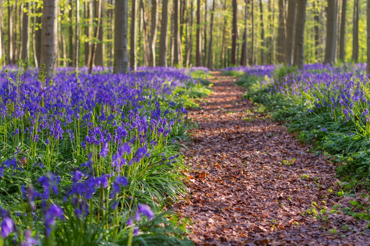
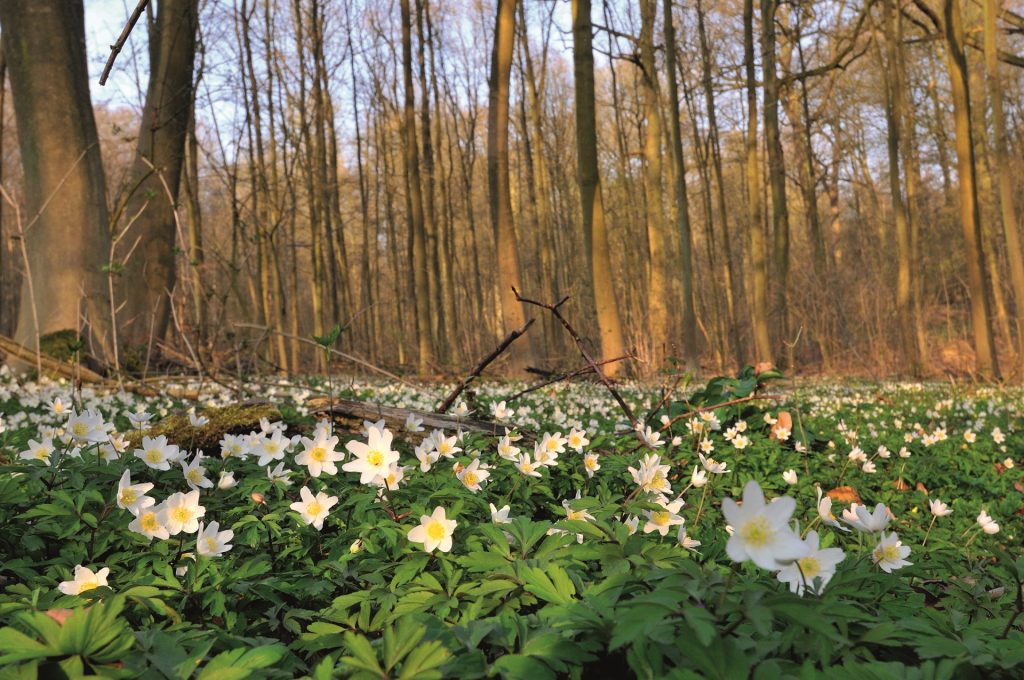
Rando des Jacinthes
Marcher-Prier en forêt de Soignes
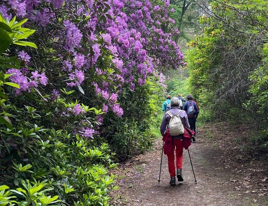
Rando des Rhododendrons
Marcher-Prier en forêt de Soignes
Rando de Juin
Marcher-Prier en forêt de Soignes
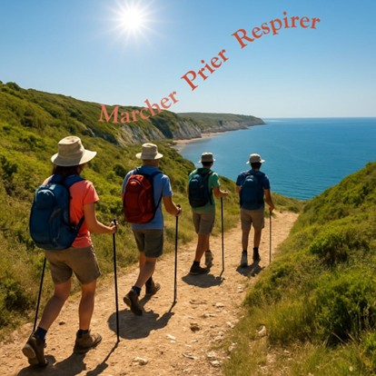
Marcher-Prier-Respirer
Session d’été
Que proposons-nous ?
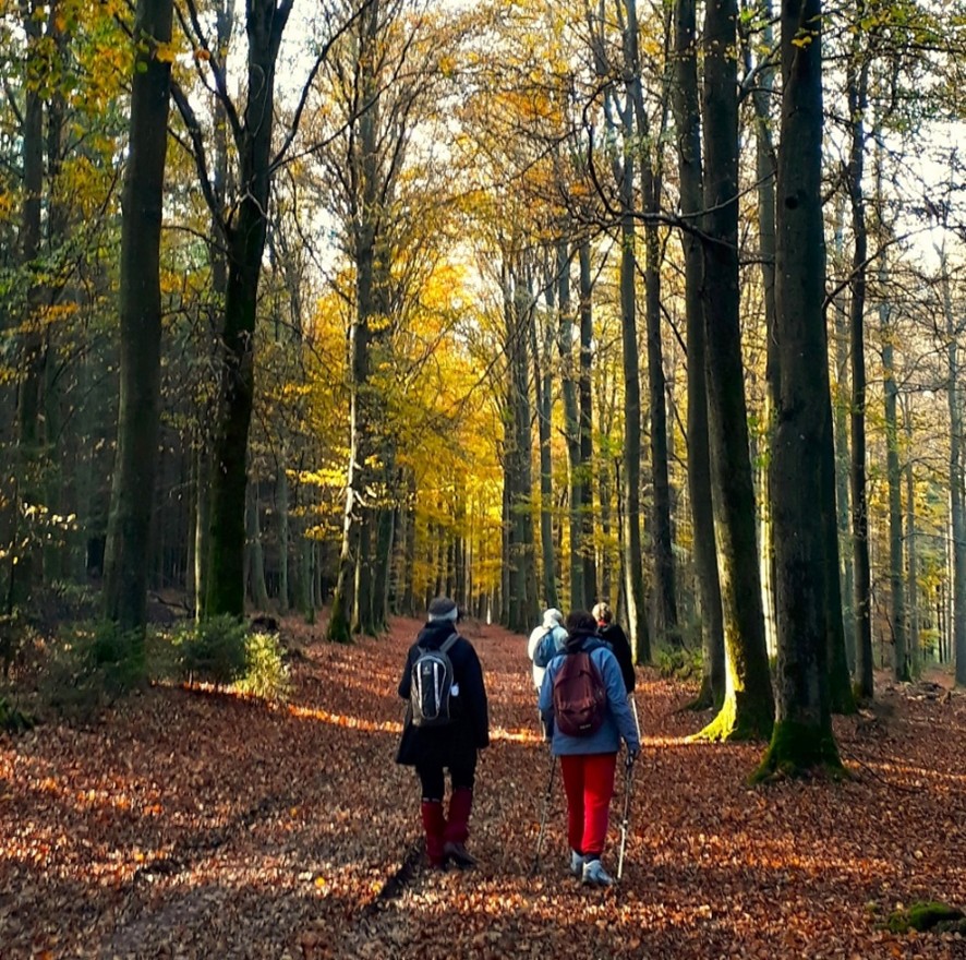
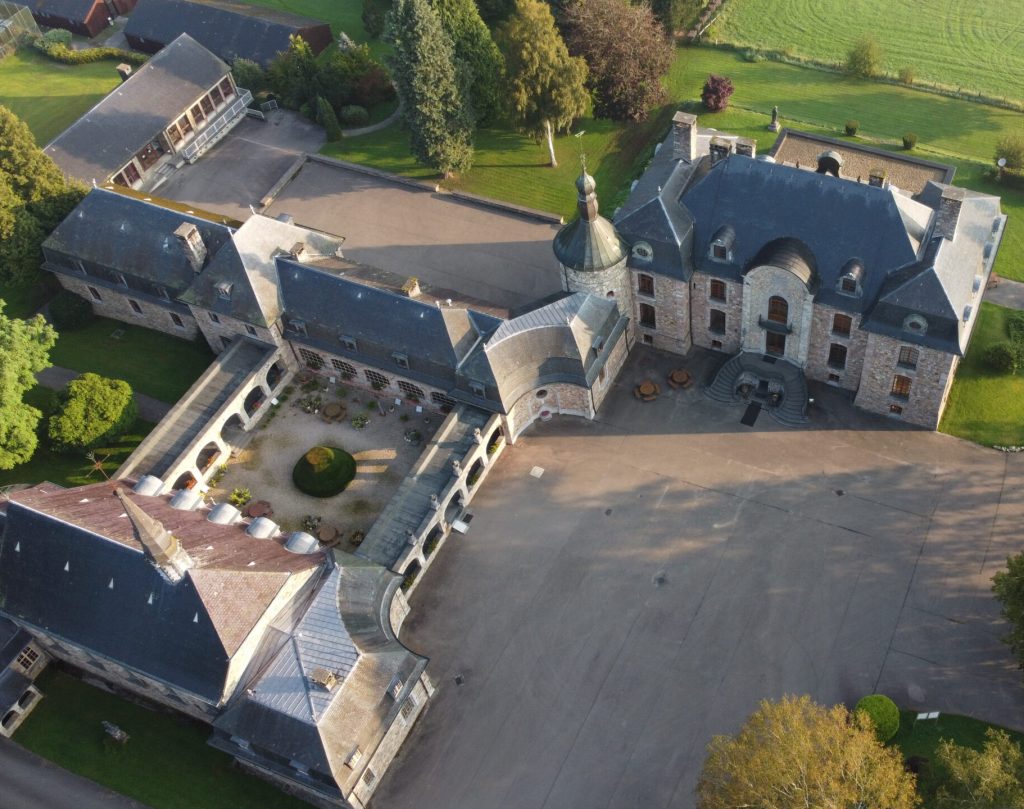
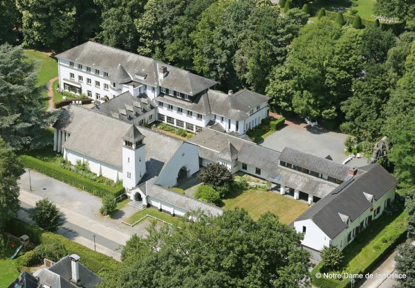
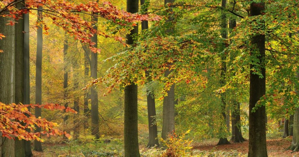
Au départ du Centre spirituel Notre Dame de la Justice, idéalement situé en bordure de la forêt de Soignes, nous organisons régulièrement des marches-prières d’environ 15 km.
Le matin, nous marchons en silence avec un texte proposé à la méditation.
Dès le midi, nous échangeons dans la convivialité.

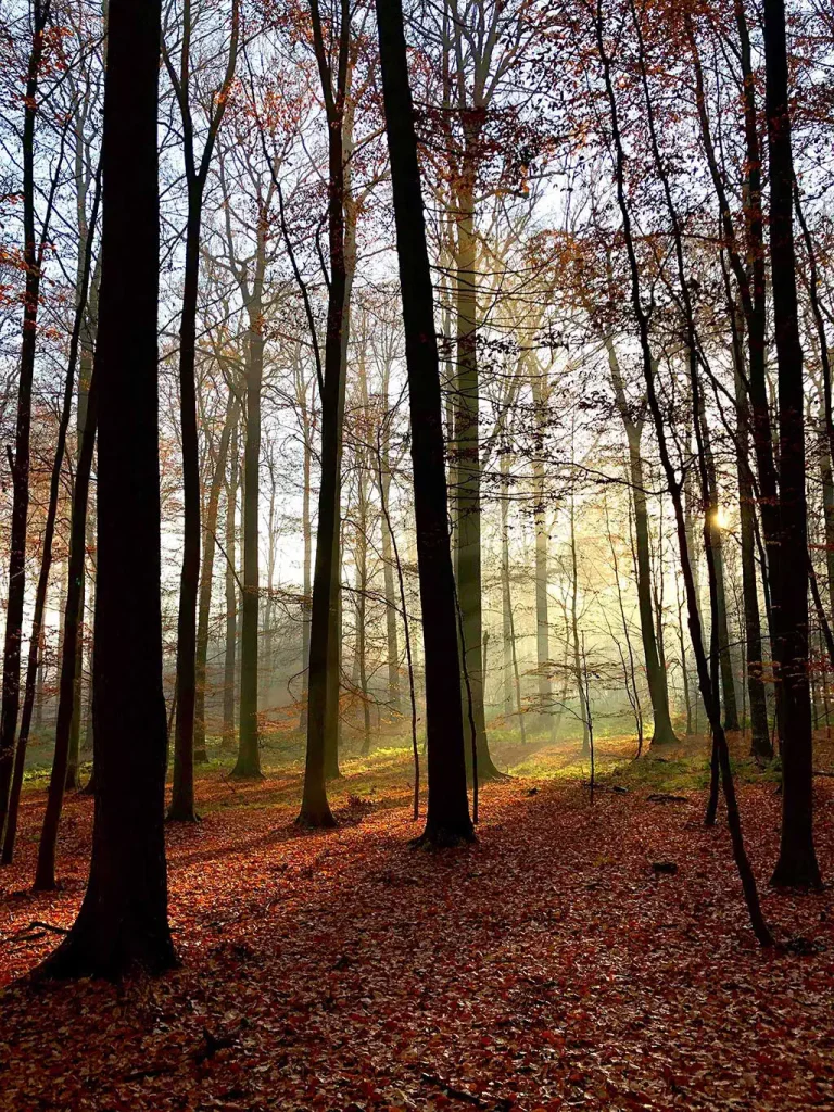
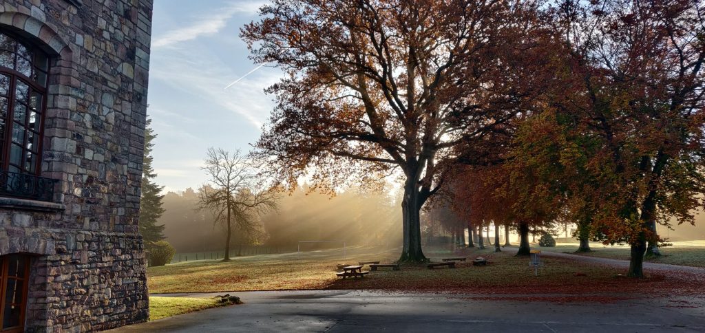
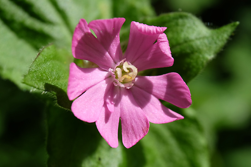
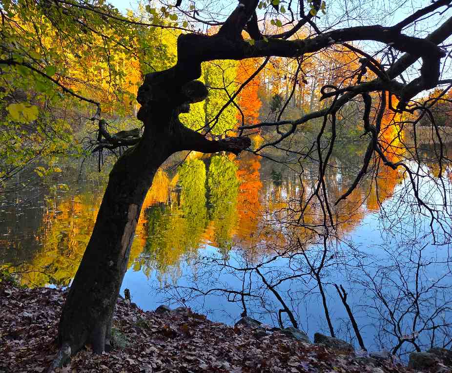
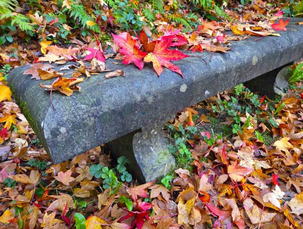
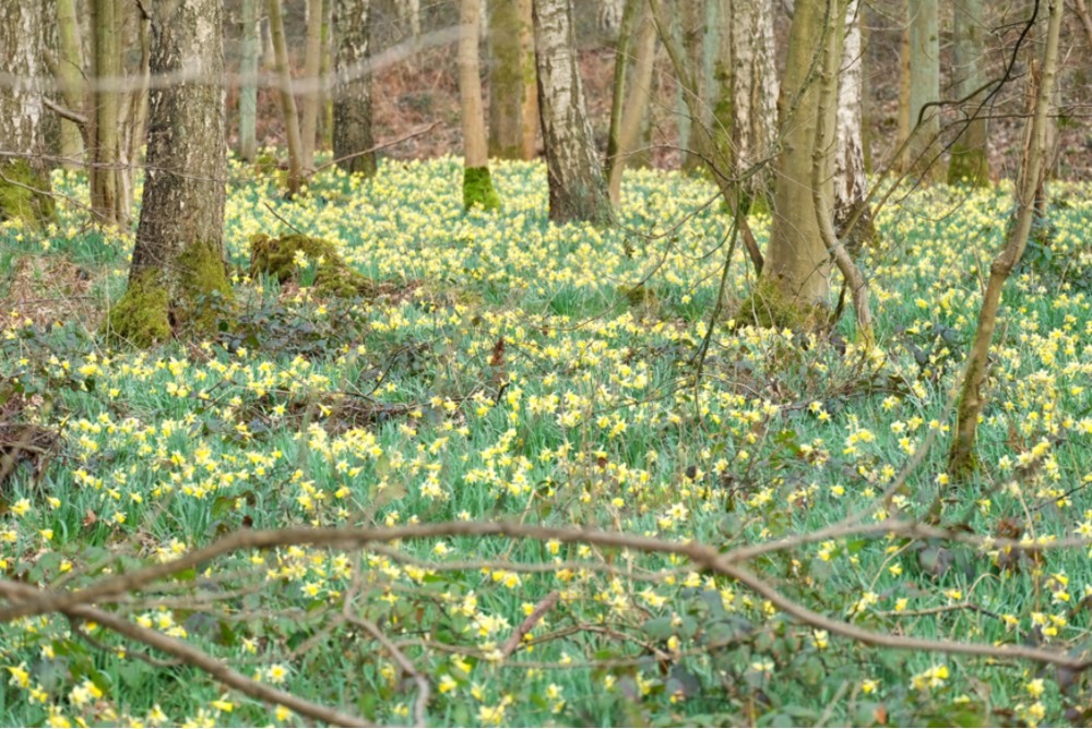
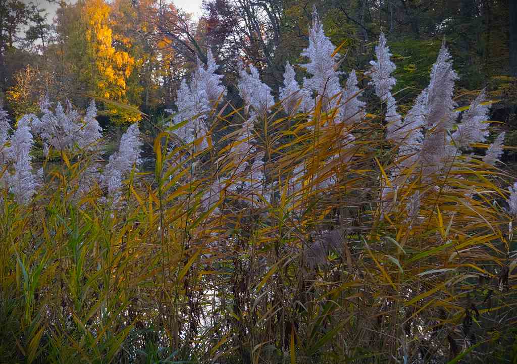
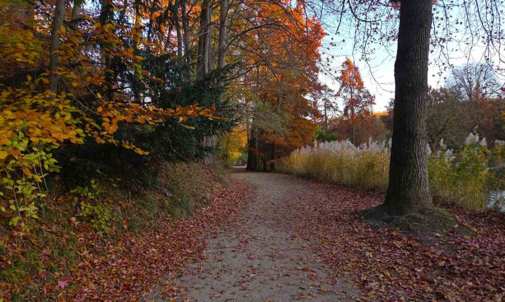
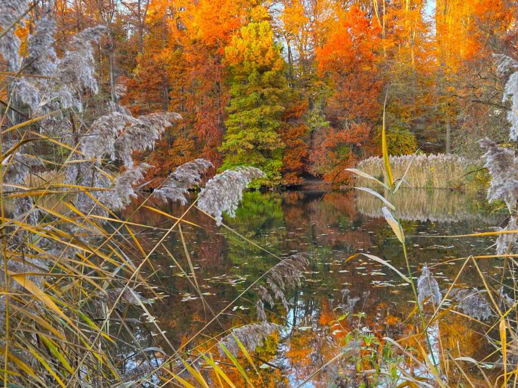
Galerie